Surveying & Mapping Services

We provide a wide variety of surveying services for a variety of federal, state, municipal and private sector clients. Our surveyors carry registrations in various states across the nation.

  • Alabama
  • Arkansas
  • Florida
  • Kentucky
  • Louisiana
  • Mississippi
  • Missouri
  • Ohio
  • South Dakota
  • Texas
  • West Virginia

We are a part of various joint ventures and other affiliations that carry registrations in 46 states along with Puerto Rico and the US Virgin Islands.
Boundary/Cadastral

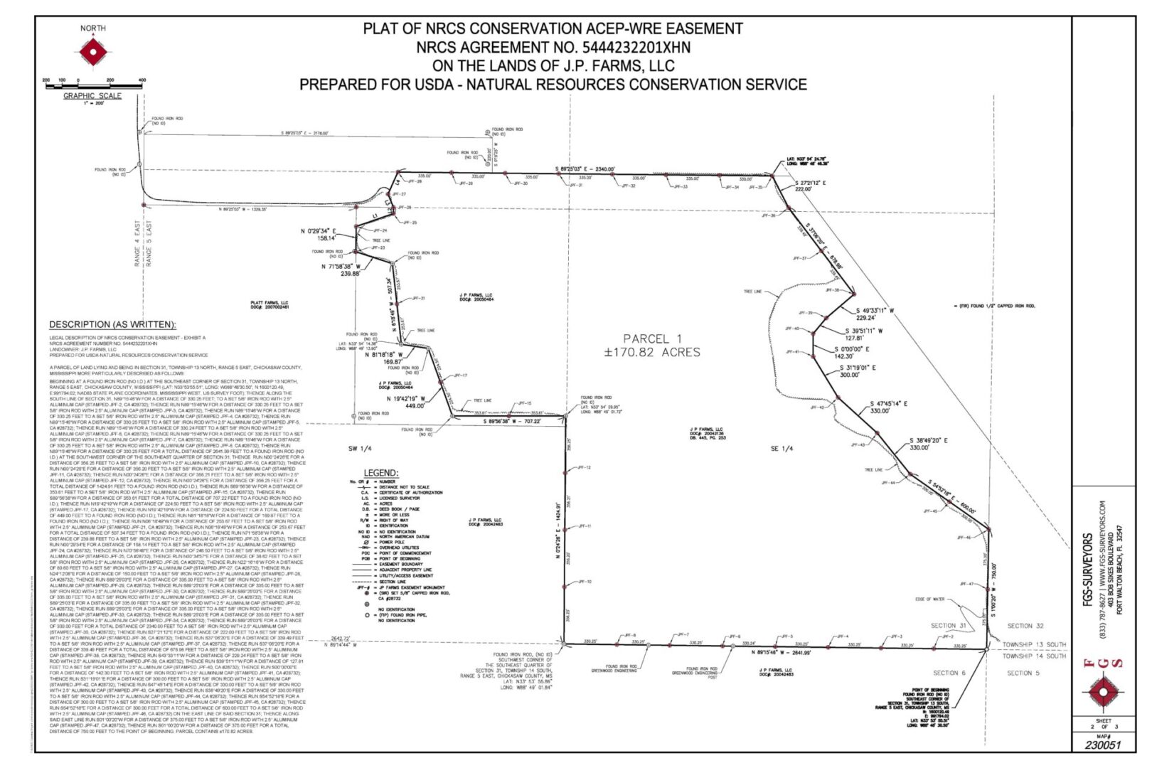
We perform all types of boundary surveying services. These services include boundary surveys from the small mortgage survey to a several thousand acre tract.

A map of the land in which there are many people.
A map of the course with green lines and yellow dots.

Bathymetric/Hydrographic

Our hydrographic services include single beam (single and dual frequency), multibeam, magnetometer, side scan sonar, sub-bottom profiling and blueview scanning.

Planimetric/Topographic

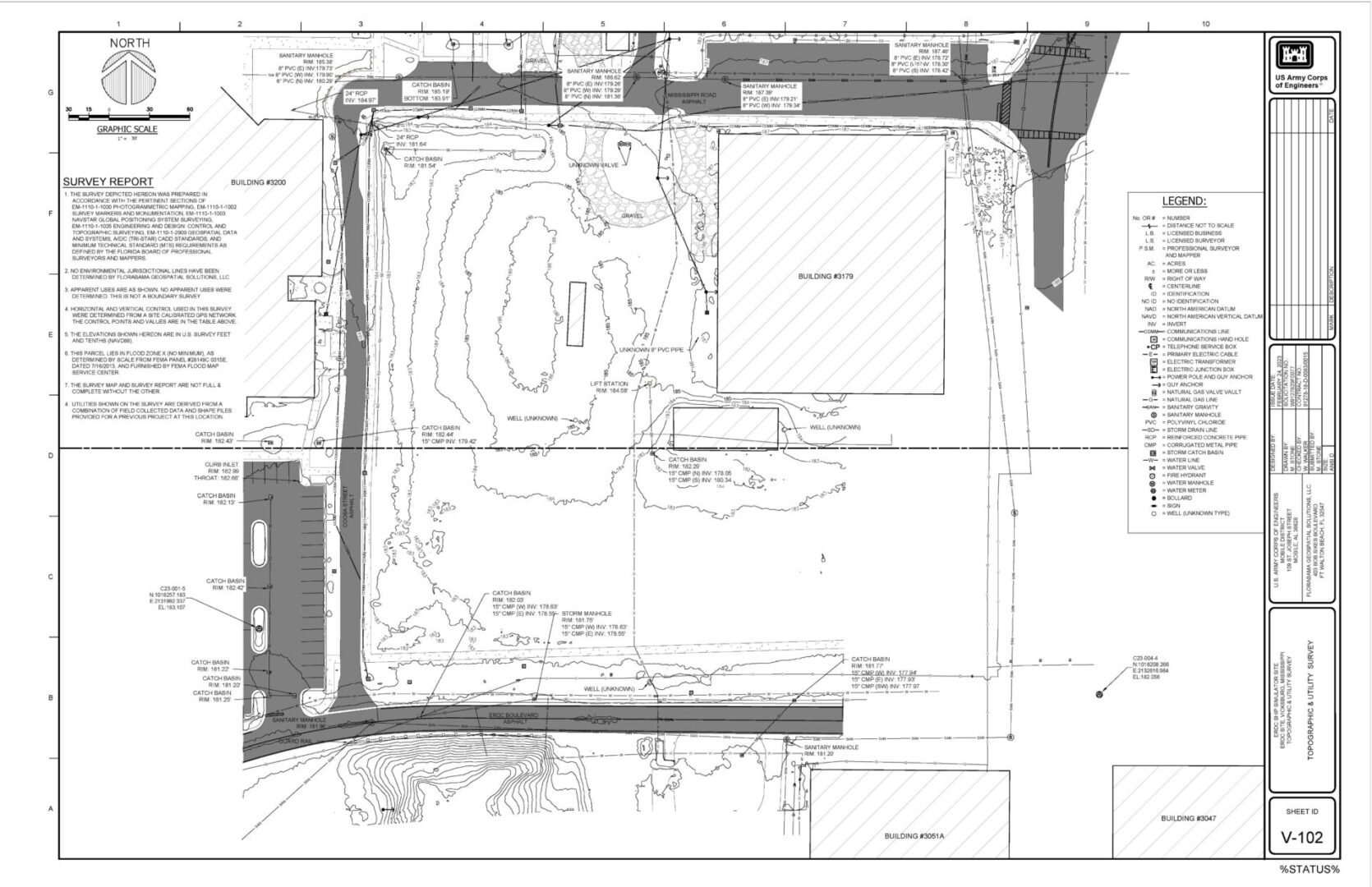
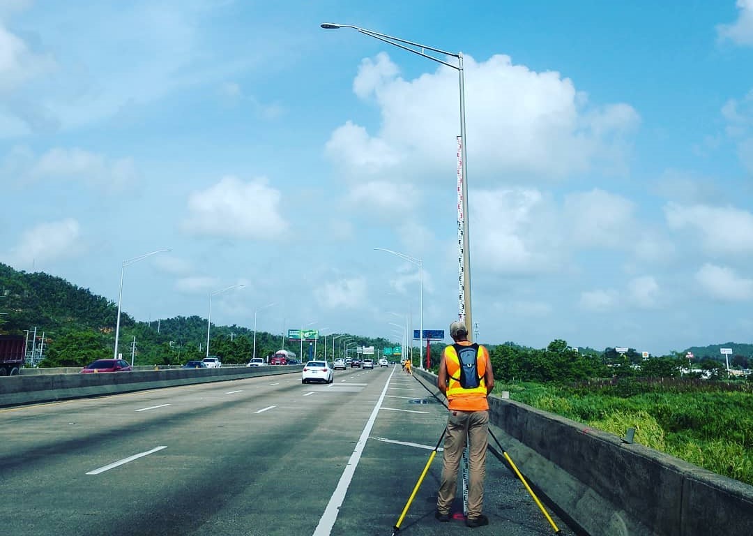
We perform topographic services on various sized projects using Aerial LiDAR, RTK GPS, Robotic Total Stations as well as conventional surveying methiods. These surveys consist of pre and post design topographic asbuilts, volumes for payment, elevation certificates and many more.

A black and white image of an aerial view of a building.
A man standing on the side of a road.

Geodetic/GPS

These services include new control monument installation, high order static GPS observations & digital leveling, bluebooking, OPUS Projects, RTK GPS using conventional & VRS base stations.

Mobile/Terrestrial Scanning

FGS maintains the latest technologies such as high definition scanning. We use mobile scanning from platforms such as normal vehicles; various sized ATV's and boats.

A large building with some scaffolding on it
A sign on the side of a dock that says " water level data logger g ".

Mean High Water/Riparian

Mean High Water Line Surveys are a common practice when your office is located in a coastal county. These surveys are often tied to Riparian Rights issues as well.