Supervisory Staff
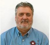
Mr. Walker has more than 45 years' experience in the surveying profession. His current duties as CEO include overall management of company business along with business development in the federal, state and local markets. He has been directly responsible for securing more than 75 million in federal and state IDIQ contracts over the last 25 years. Those IDIQ contracts were for the following state and federal agencies Alabama DOT; Alabama Department of Conservation & Natural Resources; USACE Districts of Jacksonville, Ft. Worth, Mobile, New Orleans and Pittsburgh; NGS/ NOAA; NRCS; USFS and USFWS. Other duties include QA/QC on projects such as As-built Surveys, Large and Small Boundary Surveys, Construction Stake-Out, GIS, GPS Control (RTK and Static), Hydrographic Surveys (including Multi-Beam) Mean High Water Lines, Mortgage Surveys, Riparian Surveys, Route Surveys, Topographic Surveys, Wetland Delineation, etc.
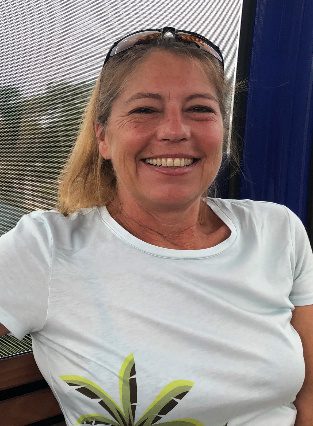
Ms. Saxton is a licensed surveyor in (7) states with over 35 years of experience in the surveying profession. Ms. Saxton has worked with D.O.T. District’s 2, 3, 5, and 7 in the State of Florida and Divisions 3, 4, 5, and 9 in the State of Alabama. She has been project manager on numerous task orders for both the Jacksonville and New Orleans Districts of the Corps of Engineers. Ms. Saxton tasks include projects such as Design Surveys, Utility Surveys, As-built Surveys, Large and Small Boundary Surveys, GIS, GPS Control (RTK and Static), Control and Right-of-way Mapping, ALTA Surveys, Mean High Water Lines, Mortgage Surveys, Route Surveys, Topographic Surveys, Wetland Delineation, etc. This includes computation, adjustment and map production for all phases of these surveys. Ms. Saxton is very skilled and knowledgeable in the use of ArcView, AutoCAD Land Development Desktop®, AutoDesk Civil/Survey®, MicroStation V8, J & XM®, Inroads Site & Survey, Trimble® GPSurvey®, Trimble Geomatics Office®, Geopak®, CAiCE, and EFB.
Mr. Cothern has over 35 years’ experience in the Surveying profession and has been involved in projects for both public and private sector clients. Doug has experience with a variety of projects including boundary surveys, large scale topographic, construction staking, section breakdowns and countless residential and commercial surveys. Doug is also well versed in elevation certificates and other related FEMA surveys.
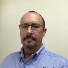
Mr. David Ham has 35 years’ experience in the surveying industry. He began surveying shortly after High School as a Rodman. David quickly found a passion for the profession, with a keen interest in the Hydrographic Surveying field. He has worked as a Project Manager on a wide variety of Surveying projects, from county-wide High Order GPS Height Modernization surveys to First Order Digital leveling. He has been responsible for both small- and large-scale hydrographic surveying projects for various US Army Corp of Engineers Districts and Government Agencies, in addition to other Public and Private entities. David holds a CST III – Construction Certification and following his passion for Hydrographic Surveying, became a Certified Hydrographer through the NSPS / THSOA certification program in 2013. David has continued to keep up with the latest Hydrographic Industry Hardware and Data Collection advances by attending numerous training events and specialized classroom training, including advanced Multi-beam and Lidar training.